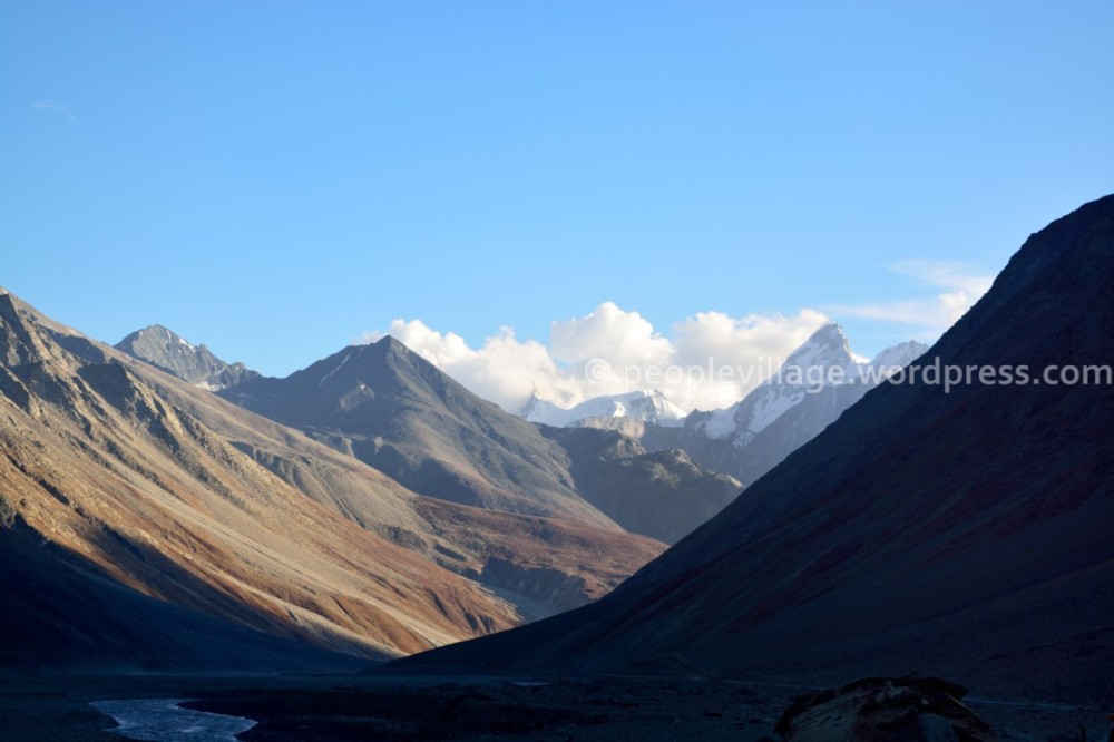
Spiti Valley, Himachal Pradesh bordering Tibet and Ladakh and having the highest inhabited villages through the year on this planet, is usually described as a cold desert with a lunar landscape. I have not been to the moon and thus not entirely familiar with lunar landscapes but Spiti which actually means “middle land” is literally a middle Tibetan kingdom that will transport you back a few centuries. These are some images of Spiti Valley in September when the snow had completely melted and thus the barrenness of the region was multiplied by the colour of earth and rock everywhere. (Click on the images for a better resolution)
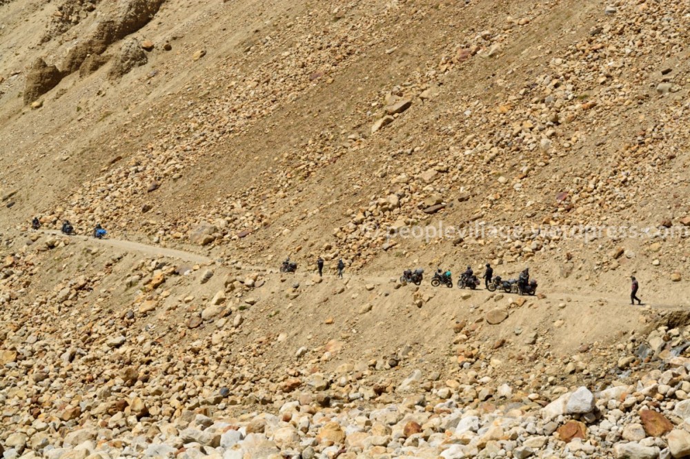
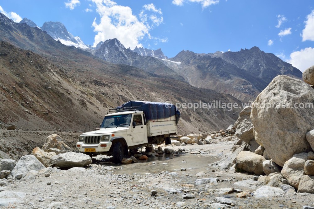
The road through Spiti is paved with stones. When told that the road from Kaza to Spiti Valley was bad, I was dismissive. Then came the information that the road was not really a road but a path leading in a general direction and I was like how bad could that be. But after experiencing the road especially the stretch from Chattru to Kunzum La along Chota Dhara and Batal, you realise there is no road. There is only a is a trail that is kept in a road worthy condition because of foolhardy travellers and the locals. Streams fed by snow-melt cut through these trails during the non-snowy months. Here, a Royal Enfielder tries to navigate his way through water and slippery river pebbles near Chota Dhara.
A few kilometres of descent after the Kunzum pass is where you first sight the newly born Spiti river. The landscape dramatically changes after the Kunzum pass. The valley between Rohtang pass and Kunzum pass is much more rocky and untamed, full of scree and ancient moraine deposits. This is the valley in which the Chandra river which originates around the Chandra Tal, flows. The landscape takes a earthy tone once you descend from Kunzum La. You have the Spiti river for company and there are huge deposits of mud and soil on the mountain slopes. Wind erosion is much in evidence and the contours are much more smoother and starker.
Lossar Village where the GPS device showed an altitude of 13605 feet, is a quaint village with a few houses and is the first village on the banks of the Spiti river as it flows down further. The houses are made of mud because it is the best heat insulator against the cold. Temperatures in winter can go down to -20 degrees centigrade with a blanket of five feet of snow everywhere. It was around -4 degrees C in the night when I was there. A lady resident revealed that they do the work of one year in six months. Which means since winter is basically a period of hibernation, they collect all the fodder for cattle, firewood and other supplies between May to October besides living their regular lives in that period. The cattle fodder is usually dried on top of the houses.
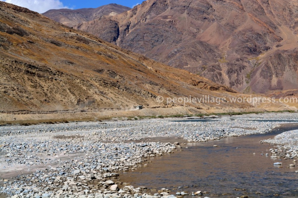
The Spiti river flows adjacent to the road from Kunzum La till Tabo.
There is water everywhere in the Spiti valley but because of the 12 cms only precipitation in a year and the high altitude, there is no vegetation. The only trees are Poplar trees and green patches such as this is a rarity.
The formations along the river from mud stalagmites formed by water and snow to canyons seem timeless.
This is imthat showcases Ki/Key Monastery a little bit differently. The peak behind is one of the 6000 mtr peaks towards Langza.
A few kilometres from Key Monastery is the village of Kibber. which is at a much higher altitude. Kibber falls on the periphery of the Kibber Wildlife Sanctuary. There is a gully above Kibber where snow leapords can be spotted in the right months.
The main door of Key monastery has devanagari inscription on the copper plates instead of Tibetan inscriptions.
This will remain a satisfying photograph. There is a stream which flows into Kaza from high above and I decided to hike up the rivulet which flowed into the Spiti. After a kilometre or so, it became difficult to go forward because the volume of water was increasing with the passing of the hour. Then it struck me that the canyon had bifurcated into two right angled canyons. With the faint hope of spotting some wildlife, I surveyed the canyons which were impressively high and noticed the ruins of a structure on top. (left hand side of the copyright symbol). Later the owner of Gompos Arts and Crafts in Kaza village informed that it could be the ruins of the first monastery built in Komic in the tenth century. The village of Komic is on top of the mountain.
Sol cafe in Kaza is run by the Ecosphere group and is a travellers cafe in the middle of nowhere. Menu includes seabuckthorn tea and it seems that seabuckthorn berries are harvested in Spiti.
Spend some solitude time in Sol Cafe and composed this image after realising that the people of Spiti Valley had not been captured. In my first try, I shot a dog but was rewarded with my second try.
An interesting conversation with a Spiti inhabitant revealed that the rains had increased this year. The fragile balance could be upset with increased rainfall in Spiti because the houses are made of mud and the same material is there everywhere on the mountains. Just imagine mud flows streaming down from these mountain slopes in case if the rainfall increases in this area.
Spiti Valley is a land which offers plenty of home-stays and the locals are some of the friendliest and warmest people you can meet. This region is almost inaccessible from December onwards till the snow starts melting in April. Since the Rohtang Pass gets closed, access from Manali is not possible while passage from the Shimla side is still possible but quite difficult. It is the homestays which come to the rescue of the visitors to the region in the mentioned months since all the commercial establishments and inns would have closed. I am told that all the inns in Kaza drain out water from the hot water geysers because otherwise, the frozen water in winter will burst the pipes open.
The first reaction of my friend after he saw this landscape; who in this world would return from a place like Spiti.
Spiti attracts a lot of travellers from other countries especially from Israel. Was told of an interesting tale by a gentleman in Manali as to why Israelis flock this region.
A house in Kaza built of mud and wood in Tibetan style.
This is a gompa on the road and if you notice, whenever there are such Buddhist structures on the road, vehicles go around them in a clockwise direction as if they were traffic islands.
The region between Lossar and the road to Kunzum Pass, is where you can touch the waters of the Spiti river. They are not as cold as expected. The better way to experience Spiti is to camp in the wilderness, instead of staying in villages or the the oh-so-mentioned monasteries. Just get lost in those canyons and gorges and Spiti will surprise you at every bend of the valley. There is a nallah on the left hand side of this image where National Geographic set up some camera traps to capture snow leapords of the region.
Errr…
The road from Manali to Shimla through Spiti or vice versa is the holy grail for bikers. The final destination could be Ladakh too. Most of the biker’s are Royal Enfielders laden with equipment and who travel in groups. The bikers require exceptional patience, passion and endurance to survive this trip.
This is an amusing and surprising image. A Royal Enfielder group makes a quick pit stop right in the middle of a likely rock-fall region.
The futility of man and machine over nature. The solitary HPTC mini-bus making its way to Manali where 200 kilometres is traversed in twelve hours. Notice the dust trail the bus leaves as it labours along.
In this month, there were hardly any vehicles on the “road”. Maybe one in every two hours. One of the reasons why there are fewer travellers to this region could be the extremely rough roads. This image is a perfect example of what might happen if you think you can master the road. (Notice the missing axle and wheel)
Chandra Dhabha in Chhatru. The “dhabha”, a saviour for backpackers and travellers as there is no food for miles around, consists of one tent and a camping ground in a settlement consisting of two buildings with almost nil inhabitants. The dhabha owner, a flamboyant 60’s like hippie who also runs a trekking outfit, vacates the place in the winter months.

General Itinerary for a Homestay Trek – http://wp.me/pTUX7-tM


